The Australian Bureau of Statistics (ABS) partnered with Portable to undertake a design-led process with key stakeholders, providing crucial support in the creation of a roadmap for geospatial data services. The roadmap needed to geospatially present socio-economic data from the ABS, and public sector data sets for use in geospatial data services. This roadmap represented a strategic opportunity for the ABS, as it would allow for geospatial implementation that met identified stakeholder needs and which would achieve buy-in.
The key outcome for our research was to identify common needs, shared objectives and challenges from the ABS’s diverse stakeholder landscape. This included federal and state government agencies, geospatial experts and consultants from private industry, academia and the general public interested in the geostatistics and geospatial products provided by the ABS.
The Challenge
Our focus for this project was to identify, understand and action what internal and external clients need from ABS geospatial data services now and in the future, so that the ABS geospatial roadmap could meet prioritised needs.
We needed to shift from the current state, where stakeholders felt there were gaps in geospatial capabilities, standards and data products suitable for geospatial analysis, towards a future state where ABS geostatistics products and broader geospatial capabilities were uplifted to enable stakeholders to achieve their desired outcomes.
We developed a set of learning outcomes to understand the human behaviours, attitudes, perspectives, enablers and barriers that enable, block or slow the shift from current state to future state. We also designed prototypes of future products and shared visions for products and initiatives that would meet stakeholders’ needs.
Our Approach
We worked with the core ABS project team to understand the problem space, which involved upskilling our team in the technical concepts of geostatistics, the role of the ABS and the value chain of their geospatially-enabled data products.
A stakeholder map and engagement plan was developed collaboratively, so that we could learn from as many key stakeholders as possible to inform our research and to represent their needs. Research learning goals were created to guide each stakeholder engagement activity towards having a clear outcome and pathway to create an evidence-based user needs report.
We also engaged in regular collaboration sessions with the ABS project team to share insights emerging from 3 complementary streams of research that would inform the geospatial roadmap: strategic landscape, technical review, and workforce capability.
Initial stakeholder engagement
We needed to speak to a variety of internal and external stakeholders for this project, to get an understanding of their challenges, needs, wants and pain points. To set the project up to success, we facilitated a stakeholder workshop with the ABS to ensure we were aware of all the necessary stakeholders that would need to be engaged.
We ran a survey and facilitated 20 virtual interviews with stakeholders from organisations such as the Victorian Department of Environment, Land, Water and Planning, Geoscience Australia and the National Emergency management, Resilience, and Recovery Agency, alongside stakeholders from within the ABS to inform our understanding of the challenges which currently exist and the opportunities that the geospatial roadmap could solve. This combination of activities gave us quantitative data to support qualitative insights, providing us with a well-rounded overview of the current state. These engagements also assisted us in creating hypotheses and user need statements to test later on in the project.
We presented the initial findings from these engagements with the ABS’s Program Control Group, to ensure that we were keeping key stakeholders informed of our progress toward agreed milestones throughout the project.
Co-design workshops
From here, we set about designing 2 co-design virtual workshops to further engage with the interview participants and those stakeholders who we hadn’t yet spoken with. Our planning included workshop briefs which the ABS could use to guide recruitment of the most suitable stakeholders for the workshops. Our workshops focused on different subjects, with the audience tailored to the subject that they were most familiar with, or were most focussed on in their role.
Our goal from the workshops was to co-design solutions and tangible recommendations to shape the geospatial roadmap and inform the future state of these services.
Report
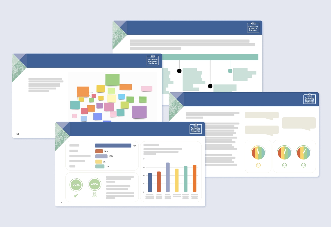
The final phase of this project was to create a report that was a culmination of our findings from the stakeholder engagements. This included a summary of our approach, stakeholder personas, the insights and synthesised themes that emerged from our research, and focus outcomes and recommended initiatives organised around the strategic framework to be adopted into the geospatial roadmap.

Outcomes
Our report successfully documented key themes, insights, initiatives and recommendations about how the Australian Bureau of Statistics’ geospatial roadmap could meet the needs of their key stakeholders.
This report included user personas and key quotes to anchor the report’s audience in the mindsets of the stakeholders. It also provided quantitative insights from the survey to inform how the ABS might use stakeholder feedback to continue improving their geospatial products and services.
The report was integrated with the ABS Geospatial Strategic Framework which formed the insights that underpinned the strategic framework adopted for the ABS Geospatial Roadmap, including the vision for the future, strategic objectives, focus areas and initiatives.
Testimonials and Reflections
“The collaboration with Portable has been instrumental to the success of our roadmap. Their expertise in human centred design principles elevated the conversations we had with our clients through interviews and workshops, enabling us to generate rich insights and build support for the roadmap. Portable provided the tools and experience to foster a collaborative and engaged working style which was critical to bringing together the research the ABS team was leading with the stakeholder insights.”
- Amelia Davies, Director Location Capability, ABS
“I appreciated and enjoyed the strong collaborative approach to co-producing insights with the ABS core project team. With such technical subject matter, we had a lot to learn from ABS stakeholders and experts about the challenges and opportunities for geostatistics to provide evidence and insight for strategic policy-making and investment. We were fortunate to have highly engaged stakeholders, and rich insights to articulate the human-centred needs and impact of geostatistics from a wide array of perspectives. I particularly enjoyed being able to wrap my data analytics practise into the project team’s foundational understanding of the subject matter so we could translate stakeholders’ needs and expectations into potential ABS initiatives for consideration.”
- Sarah Kaur, Business Design Specialist
Project Team
- Lauren Manning, Senior Producer
- Tom Miller, Senior Producer
- Sarah Kaur, Business Design Specialist
- Aishling Costello, Senior Design Strategist
- Emily MacLoud, Design Strategist
- Ash Colcott, Experience Designer
- Naomi Wilson, Lead Client Partner
- Allison Snow, Lead Producer
Learn more about using data-driven design
